Background
COBRA started in 2002 with two research foci:
- the rate, processes and controls on coastal cliff erosion, particularly on coasts dominated by hard rocks
- the nature and controls on wide-area ground surface deformation
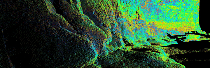
Developments in monitoring technology and modelling since the start of the project have enabled the scale of our work to significantly increase, in parallel with increases in spatial resolution and the frequency ofmonitoring. For example, we now monitor the coastline using the latest terrestrial laser scanners (TLS) covering approximately 3.5 km of coastline, capturing data points approximately every 3 cm.
The project has been based primarily around post-doctoral researchers, PhD studentships and knowledge transfer with colleagues at CPL, and has subsequently attracted wider funding from RCUK, NERC, TSB, local and national government and further businesses. The breadth of our research has widened significantly, to now include rock mechanics, coastal evolution, and remote sensing both on- and offshore. Training students is an important part of the project, and feeds directly into teaching on both Masters and undergraduate programs in the Department of Geography at Durham University, and in the Institute of Hazard Risk and Resilience.
Disseminating our findings is a central component of COBRA, with our primary conduit via academic publications (a list can be found here), academic and practitioner conferences, but also local, regional and national workshops on coasts, landslides and management. Our research fed directly into the North East Shoreline Management Plan 2, and we seek to extend the impact of our research in future.